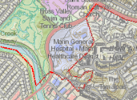
 | Marin Map Viewer
HTML 5 version View more than 100 map layers including property boundaries, hazards, jurisdictions and natural features. Query by address or Assessor Parcel Number. Print maps. Best viewed using current versions of Internet Explorer, FireFox and Google Chrome. Also runs in smart phone and tablet browsers!
|
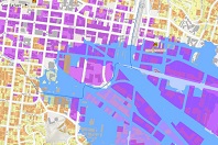 | Marin Sea Level Rise Viewer
The Marin Sea Level Rise Viewer app was commissioned by a group of local electeds and staff leadership from Marin’s cities and towns to provide the public with consistent countywide sea level rise data. The app includes six sea level rise scenarios, three of sea level rise alone and three with the addition of a 100-year storm surge event, to explore near, medium, and long term sea level rise. Users can zoom in and out, pan, and click on features to see pop-ups with additional information. |
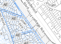 | FEMA Flood Information
For Information about Letters of Map Change LOMC please click this Link FEMA LOMC
Enter Assessor parcel number (found on your property tax bill) or street address to view FEMA flood maps as well as any nearby properties that have been removed from FEMA’s flood hazard zones via a successful Letter of Map Change.
|
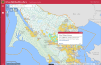 | Urban Wildland Interface
Displays areas that are within the Wildland Interface Area where Fuel Reduction requirements will apply.
|
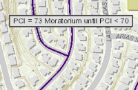 | Road Moratorium (New)
View streets that have prohibitions on planned excavations for a specified time, typically five years. |
 | LAFCO Approved Districts
LAFCO - Local Agency Formation Commission.
Visit LAFCO's website to view city and special district boundaries. |
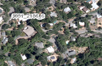 | Ortho Aerial Image Download
This application is used to download Orthographic Imagery from 2004, 2011 2014, 2018 and various LIDAR. It allows you to clip or Export a Map to a downloadable image file OR include georeference data to import the image into a mapping program. |
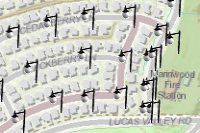 | Street lights
View street light locations. Marin General Services Authority contracts with DC Electric Group for streetlight maintenance. Report outages to DC Electric using the application.
|
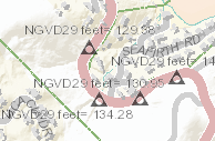 | Benchmarks
Local benchmarks denoting elevation plus National Geodetic Survey geodetic control stations that provide a base of reference for latitude, longitude and height throughout the United States. |
 | Marin GeoHUB
GIS Data Portal This site provides access to all of County of Marin's published open (GIS) data. You can view it, map it, style it, chart it, download it or share it |
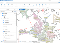 | NRG Neighborhood Response Group
Map application that displays NRGs and Clusters. NRGs are activated in emergencies when people need to be checked on. |
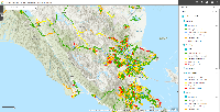 | Street Saver/PCI Map Application
Streetsaver App to show PCI for Marin County Roads/Streets. You must select/check a city from the layer list then zoom in that area. |
 | Transportation Authority Traffic Counts
Transportation Authority traffic counts for freeway ramps and selected road segments (some of which are in TAM’s Congestion Management Plan). |